academia_academy

investigación científica_scientific investigation
libros_books
Resumen
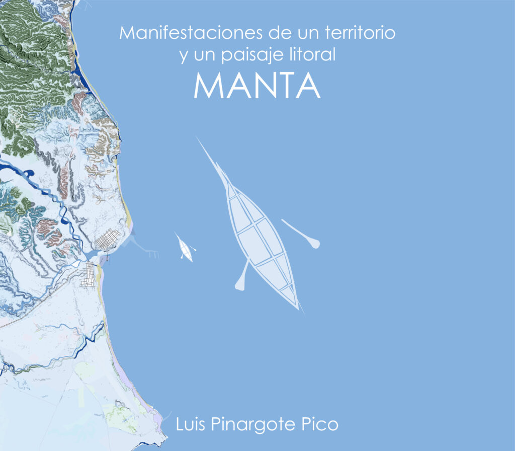
El presente libro es una tentativa de entender la relación entre el borde costero y la ciudad, con respecto a la estructura de la misma, el aporte que brinda el borde costero en relación a esta, como valoración de identidad local, cómo interactúa con la estructura de la ciudad. Se estudia el frente costero a partir de conceptos de paisaje cultural y proyectos territoriales, examinando así los estudios territoriales desde una mirada cuidadosa a los relieves del lugar, permitiendo así producir nuevas aperturas, que conduzcan al fortalecimiento de la interpretación y ordenación del borde costero, como un elemento competente para configurar la fachada de la ciudad junto al mar, reconocer la relación entre el borde y la ciudad, determinar las condicionantes físicas que configuran los elementos urbanos y la delimitación urbana. Se busca reconocer estos valores a partir de representaciones gráfica.
Palabras clave:
Proyecto territorial, paisaje costero, el borde y la ciudad, el espacio público y sus límites.
Abstract
This book is an attempt to understand the relationship between the coastal edge and the city, with respect to the structure of the same, the contribution that the coastal edge offers in relation to this, as a valuation of local identity, how it interacts with the structure of the city. The coastal front is studied from cultural landscape concepts and territorial projects, thus examining the territorial studies from a careful look at the reliefs of the place, allowing thus to produce new openings, which lead to the strengthening of the interpretation and ordering of the coastal edge, as a competent element to configure the façade of the city by the sea, recognize the relationship between the edge and the city, determine the physical conditions that make up the urban elements and the urban delimitation. It seeks to recognize these values from graphical representations.
Keywords:
Territorial project, coastal landscape, edge and city, public space and its limits.

artículo científico_scientific article
Abstract
In recent decades, the need to carry out urban and territorial planning focused on risk management has become evident, providing new ways of generating tools for said activity. The study proposes urban homogeneous units (UHU) as a tool to achieve a diagnosis that is more approximate to the reality of each territory, generating an extrapolable, replicable and regularized model for the evaluation of the territory and its risk values. The case study is the city of Portoviejo, one of the cities most affected by the earthquake of April 16, 2016, where various territorial planning strategies are being developed, which is why the proposal contributes to the policies undertaken. by the local government for comprehensive disaster risk management.
Keywords:
Risk management; resilience; territorial planning; urban form; urban landscape.
Resumen
En las últimas décadas se ha evidenciado la necesidad de llevar a cabo una planificación urbana y territorial enfocada en la gestión de riesgo, aportando nuevas maneras de generar herramientas para dicha actividad. El estudio propone a las unidades homogéneas urbanas (UHU), como herramienta para lograr un diagnóstico más aproximado a la realidad de cada territorio, generando un modelo extrapolable, replicable y regularizado para la evaluación del territorio y sus valores de riesgo. El caso de estudio es la ciudad de Portoviejo, una de las ciudades más afectadas por el terremoto del 16 de abril de 2016, en donde se vienen desarrollando diversas estrategias en planificación del territorio, es por ello, que la propuesta aporta a las políticas emprendidas por el gobierno local para la gestión integral del riesgo de desastre.
Palabras clave:
Gestión de riesgos; resiliencia; planificación territorial; forma urbana; paisaje urbano.

Resumen
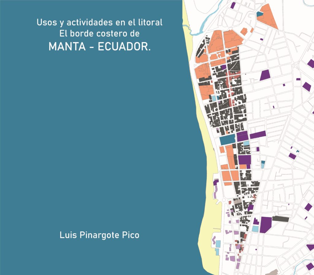
El presente trabajo busca entender las distintas realidades y lógicas de cómo se han implantado las actividades y el tratamiento en el litoral de la ciudad de Manta, para poder comprender las distintas lógicas que presenta cada zona de la costa con respecto al resto del territorio litoral. Mediante el análisis de patrones de comportamiento espacial, cómo se han asentado en el territorio las distintas actividades y sus usos de suelo en la costa, procesando información de las actividades, partiendo de material existente, tanto del GAD Municipal de Manta, de la base catastral y realizando un levantamiento de información comparativo in situ, recopilando y generando nuevo material para poder abarcar la investigación desde un enfoque más próximo a la realidad territorial. Buscando de este modo desvelar la poca planificación de la zona litoral de Manta, y como en esta se implantan usos y actividades muy variados y no acordes al tratamiento litoral que debería tener una bahía, generando la degradación de esta. Se analizan los distintas usos y actividades que están presentes en el borde costero de la ciudad y las consecuencias de estas, dilucidando el comportamiento del sistema, y el resultado que se ha dado en dicha franja litoral, la cual llega a ser una zona dinámica, además de la fachada de la ciudad, y en este caso en particular el origen del asentamiento que dio lugar a la ciudad, y un bien común para la ciudadanía que guarda una memoria histórica, fuente de biodiversidad, entre otras tantas cualidades.
Palabras clave: Planificación Urbana, Planificación Regional, Espacio Urbano, Medio Urbano, Uso de la Tierra.
Abstract
The present work seeks to understand the different realities and logics of how activities and treatment have been implemented on the coast of the city of Manta, in order to understand the different logics that each zone of the coast presents with respect to the rest of the coastal territory. Through the analysis of spatial behavior patterns, how the different activities and their land uses have settled in the territory on the coast, processing information on the activities, starting from existing material, both from the Municipal GAD of Manta, from the cadastral base and carrying out a comparative survey of information in situ, compiling and generating new material to be able to cover the investigation from a closer approach to the territorial reality. Seeking in this way to reveal the little planning of the coastal area of Manta, and how very varied uses and activities are implemented in it and are not in accordance with the coastal treatment that a bay should have, generating its degradation. The different uses and activities that are present in the coastal edge of the city and their consequences are analyzed, elucidating the behavior of the system, and the result that has occurred in said coastal strip, which becomes a dynamic area, in addition to the façade of the city, and in this particular case the origin of the settlement that gave rise to the city, and a common good for the citizens that preserves a historical memory, a source of biodiversity, among many other qualities.
Keywords:
Urban Planning, Regional Planning, Urban Space, Urban Environment, Land Use.

Resumen
La investigación motiva a comprender y proyectar la micro planificación territorial urbano-rural de la comunidad “El Churo” en un Plan Masa, con relación a las herramientas de planificación que el Gobierno Autónomo Descentralizado Municipal del cantón Pedernales ha logrado establecer en el territorio cantonal. “El Churo” como asentamiento humano comunitario y reducido, cuenta con un paisaje natural situado en un ecosistema diverso rodeado de manglares y camaroneras dedicándose así a la pesca artesanal y actividades laborales informales. En este contexto los conocimientos de las teorías de desigualdad, de los derechos colectivos, desarrollo endógeno ayudarán a proponer el modelo territorial deseado en la comunidad “El Churo” con la finalidad de plantear lineamientos que ayudarán a fortalecer la articulación de futuros planes complementarios en las actuales herramientas de planificación a través de una metodología aplicada en la data de información geográfica y en la recopilación de campo, para la toma de decisiones estratégicas en los territorios y comunidades olvidadas.
Palabras clave:
Planificación, modelo de desarrollo, hábitat, modelo territorial.
Abstract
The research motivates us to understand and project the urban-rural micro territorial planning of the “El Churo” community in a Masa Plan, in relation to the planning tools that the Municipal Decentralized Autonomous Government of the Pedernales canton has managed to establish in the cantonal territory. “El Churo” as a community and small human settlement, has a natural landscape located in a diverse ecosystem surrounded by mangroves and shrimp farms, thus dedicating itself to artisanal fishing and informal work activities. In this context, the knowledge of the theories of inequality, collective rights, and endogenous development will help to propose the desired territorial model in the “El Churo” community with the purpose of proposing guidelines that will help strengthen the articulation of future complementary plans in the current planning tools through a methodology applied to geographic information data and field collection, for strategic decision making in forgotten territories and communities.
Keywords:
Planning, development model, habitat, territorial model.

Resumen
La comunidad de “El Matal”, situada en el litoral, se beneficia significativamente de su patrimonio natural. Las actividades que se dan en el espacio de la orilla influyen en la cultura e historia de la comunidad y ha tenido repercusiones negativas en la identidad local. En este contexto, la investigación emerge como esencial para abordar este tema, ya que posibilita un análisis exhaustivo de las actividades, cultura, la pesca y la conexión de la comunidad con su entorno natural. Al sumergirse en esta exploración, es viable identificar las actividades y los elementos representativos de estas en litoral de la comunidad “El Matal”, los cuales pueden convertirse en herramientas poderosas para fortalecer el sentido de la conciencia y pertenencia sobre la importancia de conservar el entorno litoral y las actividades que en este se dan. El reconocimiento de estos elementos actividades identitarias tiene el potencial de impulsar una mayor participación de la comunidad en iniciativas de conservación y turismo sostenible, generando un impacto positivo tanto en el desarrollo local.
Palabras claves:
Comunidad pesquera, identidad, comunidad, Preservación del patrimonio, patrimonio natural.
Abstract
The community of “El Matal”, located on the coast, benefits significantly from its natural heritage. The activities that occur in the shore space influence the culture and history of the community and have had negative repercussions on local identity. In this context, research emerges as essential to address this issue, since it enables an exhaustive analysis of the activities, culture, fishing and the connection of the community with its natural environment. By immersing yourself in this exploration, it is possible to identify the activities and representative elements of these on the coast of the “El Matal” community, which can become powerful tools to strengthen the sense of awareness and belonging about the importance of conserving the environment. coastline and the activities that occur there. The recognition of these elements of identity activities has the potential to drive greater community participation in conservation and sustainable tourism initiatives, generating a positive impact on both local development.
Keywords:
Fishing community, identity, community, Heritage preservation, natural heritage.

dossier académico
Abstract
This book is an attempt to understand the relationship between the coastal edge and the city, with respect to the structure of the same, the contribution that the coastal edge offers in relation to this, as a valuation of local identity, how it interacts with the structure of the city. The coastal front is studied from cultural landscape concepts and territorial projects, thus examining the territorial studies from a careful look at the reliefs of the place, allowing thus to produce new openings, which lead to the strengthening of the interpretation and ordering of the coastal edge, as a competent element to configure the façade of the city by the sea, recognize the relationship between the edge and the city, determine the physical conditions that make up the urban elements and the urban delimitation. It seeks to recognize these values from graphical representations.
Keywords:
Territorial project, coastal landscape, edge and city, public space and its limits.
Resumen
El presente libro es una tentativa de entender la relación entre el borde costero y la ciudad, con respecto a la estructura de la misma, el aporte que brinda el borde costero en relación a esta, como valoración de identidad local, cómo interactúa con la estructura de la ciudad. Se estudia el frente costero a partir de conceptos de paisaje cultural y proyectos territoriales, examinando así los estudios territoriales desde una mirada cuidadosa a los relieves del lugar, permitiendo así producir nuevas aperturas, que conduzcan al fortalecimiento de la interpretación y ordenación del borde costero, como un elemento competente para configurar la fachada de la ciudad junto al mar, reconocer la relación entre el borde y la ciudad, determinar las condicionantes físicas que configuran los elementos urbanos y la delimitación urbana. Se busca reconocer estos valores a partir de representaciones gráfica.
Palabras clave:
Proyecto territorial, paisaje costero, el borde y la ciudad, el espacio público y sus límites.

próximos proyectos_next projects

